Innovation in Environmental Management
Remote Sensing / Drone Scoping
With the advent of unmanned aerial vehicles (UAVs) and smaller, lighter, and less costly imagery sensors, remotely sensed data has become ubiquitous. The use of this data for natural resources mapping and as a source of input data for environmental process modeling and landscape ecology applications will transform environmental management in the 21st century.
Kleinschmidt’s remote sensing team has the capability to incorporate data from a number of sensors, extract useful information, and deliver powerful insights with state-of-the-art software and analytical methods. Our remote sensing projects have saved our clients time and money as expensive, large team surveys are no longer required to assess the same area. We have also provided added safety for projects with site access constraints. Our remote sensing work adds efficiency by being repeatable by following programmed routes multiple times. Kleinschmidt has a range of applications that we can incorporate into projects.
Remote Sensing Services Include:
|
|
Contact us to learn about how the use of remote sensing can benefit your projects - we are ready to assist you! solutions@kleinschmidtgroup.com
|
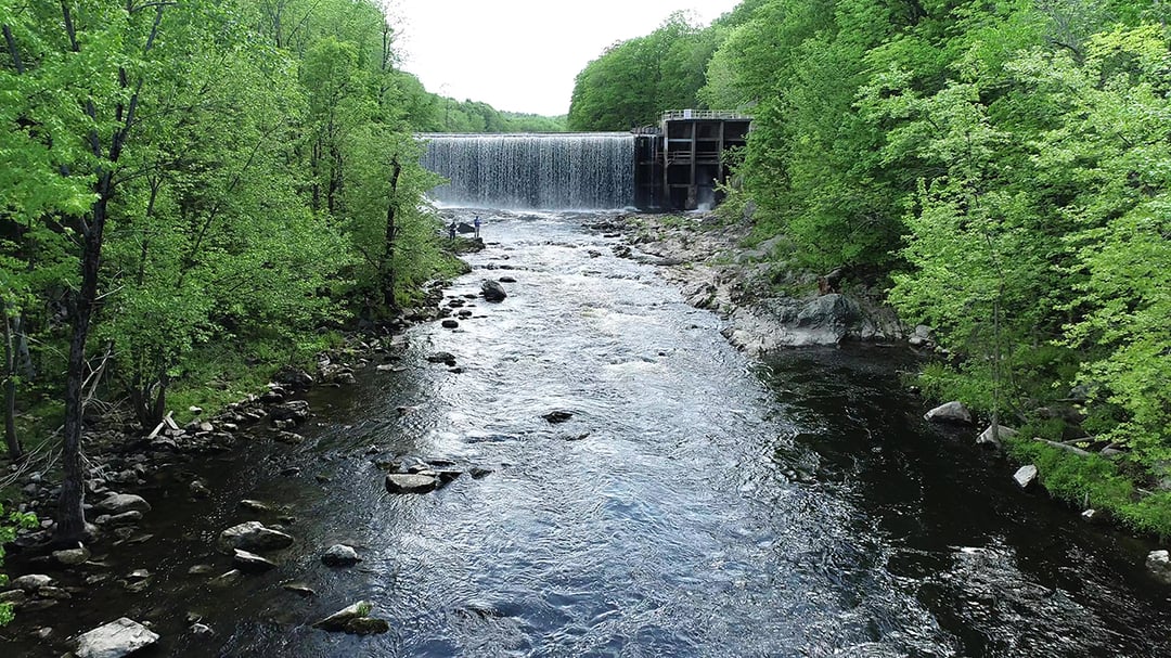
PROJECT EXAMPLES Monitoring Retired Facilities by Drone Tasked with assessing the structure and erosion conditions at the retired Old We provided a 3D, georeferenced photogrammetric model of the Old
|

Client Benefit: |
|
ByPass Flow Study As part of the relicensing studies, the bypass reaches below the J. Brodie Typically transect data is collected in the reaches, however, due to safety |

Client Benefit: |
Kleinschmidt Drone Pilots

Brandon Kulik |

Andrew Yoder |

Hannah Gorin |
|
Ryan Thomas |
Jordan Johnson |
Charles Aquilina |

Joetta Zablotney |


